RTOPO Hydrology Software
3.79/5 (367 Reviews)
Simple, powerful and inexpensive CAD software for surveying.
Multimedia And Design
Image And Graphic Design
Shareware
FREE DOWNLOAD (v3.4Half)
File Size: 2546KB | Safe & Verified
Key Features of RTOPO Hydrology
- RTOPO Hydrology is a CAD engineering plugin designed for hydrological analysis and topographic processing.
- It is an add-on for ZWCAD and AutoCAD environments, specifically built for civil engineers and surveyors working on water flow, terrain modeling, and watershed management.
- The software can process 3D point clouds to generate Digital Terrain Models (DTM).
- It includes tools to calculate flow directions, identify drainage basins, and simulate water accumulation on a landscape.
- This is essential for designing drainage systems, dams, and flood prevention infrastructure.
- RTOPO Hydrology automates the drawing of contour lines and cross-sections.
- It is a specialized professional tool that streamlines the complex calculations required in environmental engineering projects.
Technical Specifications
- Publisher: Rcad.eu
- License: Shareware
- Operating System: Windows 7, Windows 8, Windows 10, Windows 11
- Category: Multimedia And Design / Image And Graphic Design
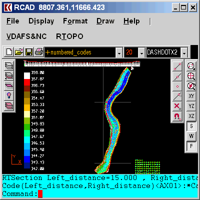
RTOPO Hydrology Screenshot