OzGIS Utility
4.90/5 (216 Reviews)
OzGIS is an extensive system for the analysis and display of geographically referenced data.
Business And Productivity
Education And Science
Freeware
FREE DOWNLOAD (v14.7.0.7)
File Size: 313KB | Official Download
Key Features of OzGIS
- OzGIS is an extensive system for the analysis and display of geographically referenced data.
- About 150 menus provide an enormous range of options The system can be used to analyze socio-economic and demographic data produced by censuses and surveys and to support management decisions associated with for example marketing, sales, site and personnel location, and advertising.
- Other spatial data such as environmental data can be displayed.
Technical Specifications
- Publisher: Sourceforge.net
- License: Freeware
- Operating System: Windows 7, Windows 8, Windows 10, Windows 11
- Category: Business And Productivity / Education And Science
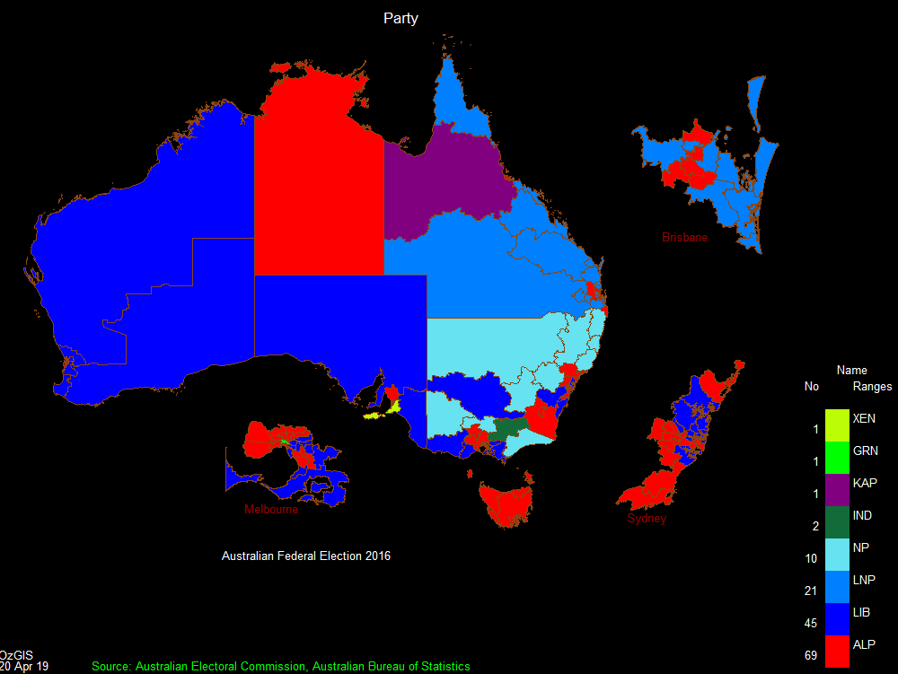
OzGIS Screenshot