Google Birdseye Maps Downloader Utility
3.63/5 (348 Reviews)
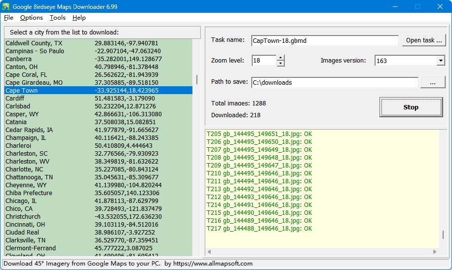
Google Birdseye Maps Downloader is a tool that help you to download 45 degree Imagery (bird\'s eye view) from Google Maps to your PC.
Internet And Network
Browsers And FTP
Shareware
FREE DOWNLOAD (v5.34)
File Size: 2.62MB | Official Download
Key Features of Google Birdseye Maps Downloader
- Google Birdseye Maps Downloader is a geospatial mapping utility designed to capture high-resolution aerial imagery.
- It downloads "Bird\'s Eye" view tiles (angled aerial photos) from mapping services and stitches them together into a large, seamless image.
- This provides a detailed 45-degree view of buildings and landscapes, often clearer than top-down satellite imagery.
- The user specifies the coordinates (Latitude/Longitude) and the zoom level.
- The software downloads the individual tiles and uses a built-in combiner to merge them into a single BMP or JPG file.
- This tool is useful for urban planners, architects, or enthusiasts creating offline maps.
- *Note: Users should verify the terms of service of the mapping provider regarding automated downloading.*
Technical Specifications
- Publisher: Allmapsoft.com
- License: Shareware
- Operating System: Windows 7, Windows 8, Windows 10, Windows 11
- Category: Internet And Network / Browsers And FTP
Google Birdseye Maps Downloader Screenshot